
Sources for Leawood Neighbors
A block search combines sources that answer different questions. AIMS shows physical relationships and mapped districts. The Appraiser and Treasurer add parcel and tax fields. The recorder holds the legal plat and restrictions. City HOA pages supply association contacts, while voter records follow separate Kansas access rules. None of them is a complete household roster.
| Source | What It Shows About a Block | Access |
|---|---|---|
| AIMS parcel outlines | Touching lots, frontage, corners, and common tracts | Public map; approximate, not a survey |
| AIMS address and building layers | Address points, footprints, driveways, and nearby addresses | Public GIS layers |
| Recorded plat and deed index | Block, lot, subdivision, dates, restrictions | Recorder terminal or document route |
| Election geography | Precinct, ward, and district context | Map layers; not a voter-name list |
| Leawood HOA list | Association and management contact leads | Self-reported city resource |
A parcel owner may receive bills elsewhere. A renter or other household member may never appear in property data. Compare the situs address, meaning the physical site, with the billing address without treating either field as proof of present occupancy. The block record is strongest for land, boundaries, and civic context.
Define a Leawood Neighbor
Map adjacency is not always the same as living next door. A road, drainage tract, access easement, or shared common area can sit between two homes. Use the AIMS mapping viewer to inspect parcel outlines, address points, building footprints, and street frontage at a useful scale. Then use a recorded plat when a legal boundary matters.
A county buffer request can map a 200, 500, or 1,000-foot area through a Kansas Open Records Request to the Register of Deeds. It is a spatial research product, not a list of occupants. For most Leawood neighbors, clicking the touching parcels is more precise than drawing a broad radius.
Note: AIMS states that map accuracy is approximate and not a legal survey, so a mapped line alone cannot settle a boundary dispute.
Map a Leawood Neighbors Block
Work outward from a verified address. Keep the Property ID, KUPN, legal description, subdivision, and block or lot fields tied to each parcel. A KUPN is the county parcel identifier. A plat is the recorded map that creates lots, blocks, streets, and common areas.
- Search the full address in AIMS and confirm the site address, city, parcel outline, and KUPN.
- Click each touching parcel and note roads, corner lots, drainage areas, and common tracts.
- Compare subdivision, block, lot, plat, and billing fields without assuming owner occupancy.
- Check the recorder for the legal plat or restriction when the mapped relationship matters.
The Leawood street directory carries the broader named-street workflow when the search grows beyond the immediate block.
Leawood Plats and Restrictions
The Johnson County land-record portal begins with a login screen; the query screen was not publicly inspectable in the research. Start with a parcel or KUPN from AIMS, then use the recorder terminal or ask staff for the plat, deed, declaration, or restriction. The official portal capture below shows the access point, not a resident result.
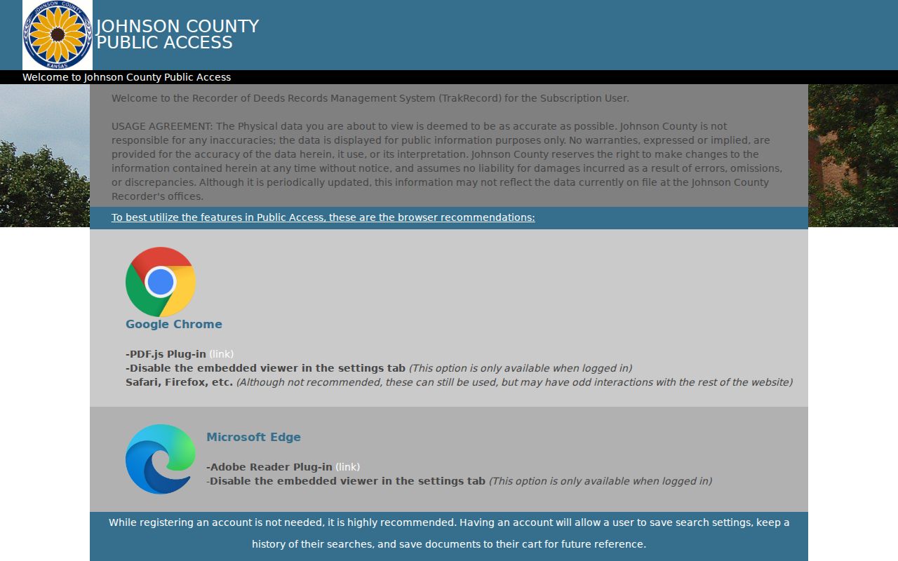
The recorder index is the legal-document route, while AIMS remains the map and parcel crosswalk.
The recording-fee page documents the index from 1920 forward and plats from 1866.
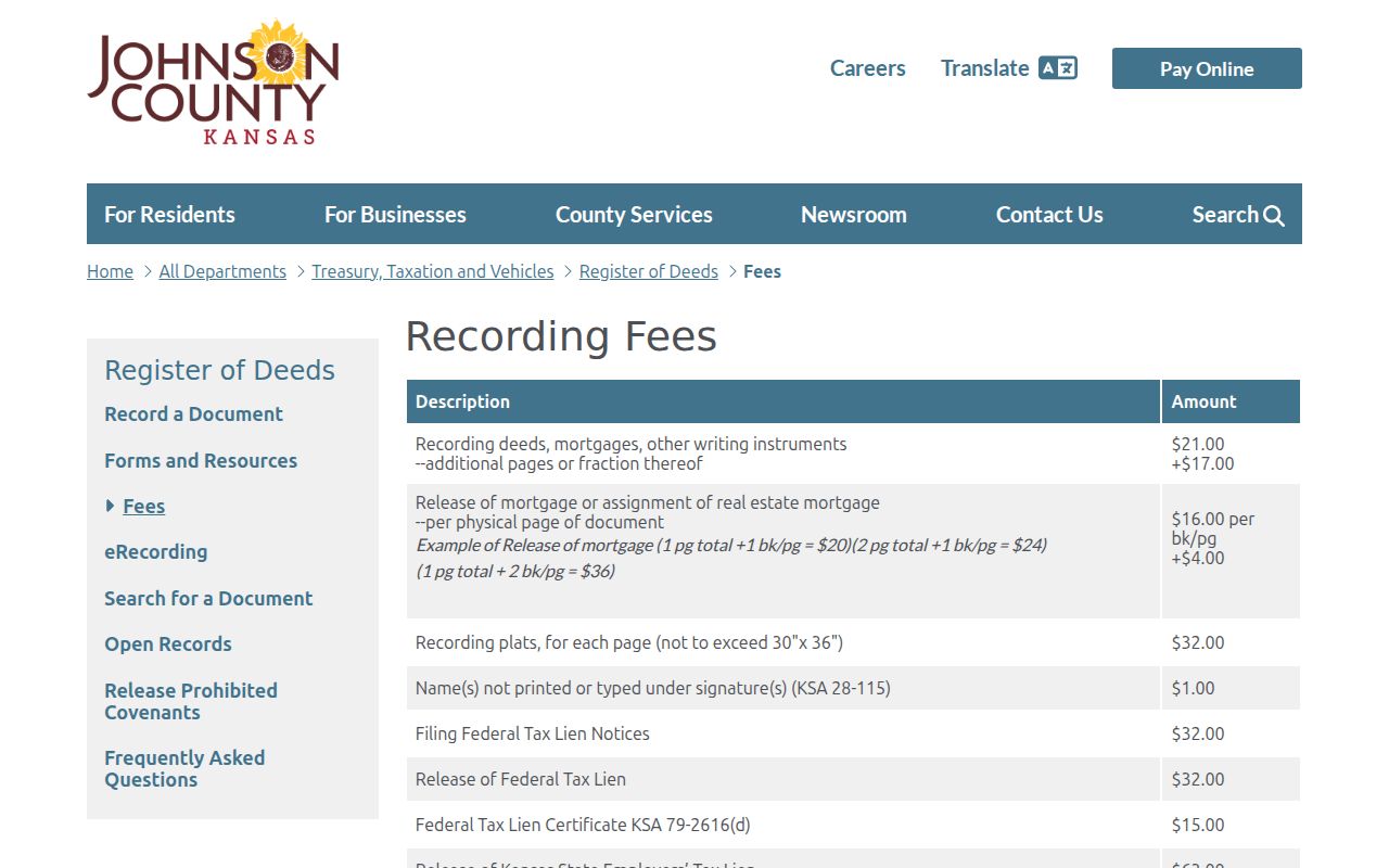
Normal copies are listed at 25 cents per page, while certified copies and plats follow separate fees that should be checked before ordering.
Leawood Neighborhood Contacts
The Leawood HOA public list is a contact layer, not a member directory. The city says the data is self-reported, does not warrant its accuracy, and directs people to the association for specific information. Examples in the city resource directory include Aimtree Manor, Berkshire, Bradford Place, Bridgewood, Brightwater, Bristol Place, Brittany Court, Brymar, and Cambridge Townhouse.
City HOA list
Association links and public board or management leads. Verify with the association.
Register of Deeds
Recorded declarations, restrictions, bylaws, plats, and amendments at the public terminal.
AIMS subdivision layer
Mapped subdivision name, plat references, and parcel context.
The HOA update form asks for association, title, management, board term end, and contact details. It warns that the form is not for dues or specific HOA information. Do not send sensitive personal facts through it.
Leawood Voter Geography Limits
AIMS can show precinct, ward, school, fire, and other districts without naming voters. The Johnson County Election Office handles voter-file requests, while VoterView is a person-specific tool requiring first name, last name, and date of birth. A polling-place search uses an address.
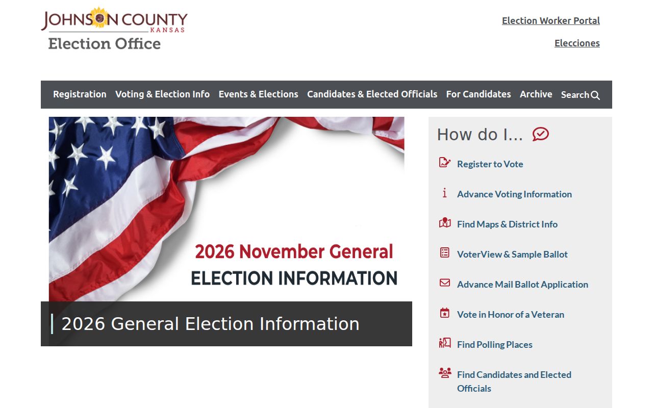
The office is the custodian for lawful requests and questions about protected fields.
The county's voter information request may include controlled voter and district fields under certification, identification, fees, and use limits.
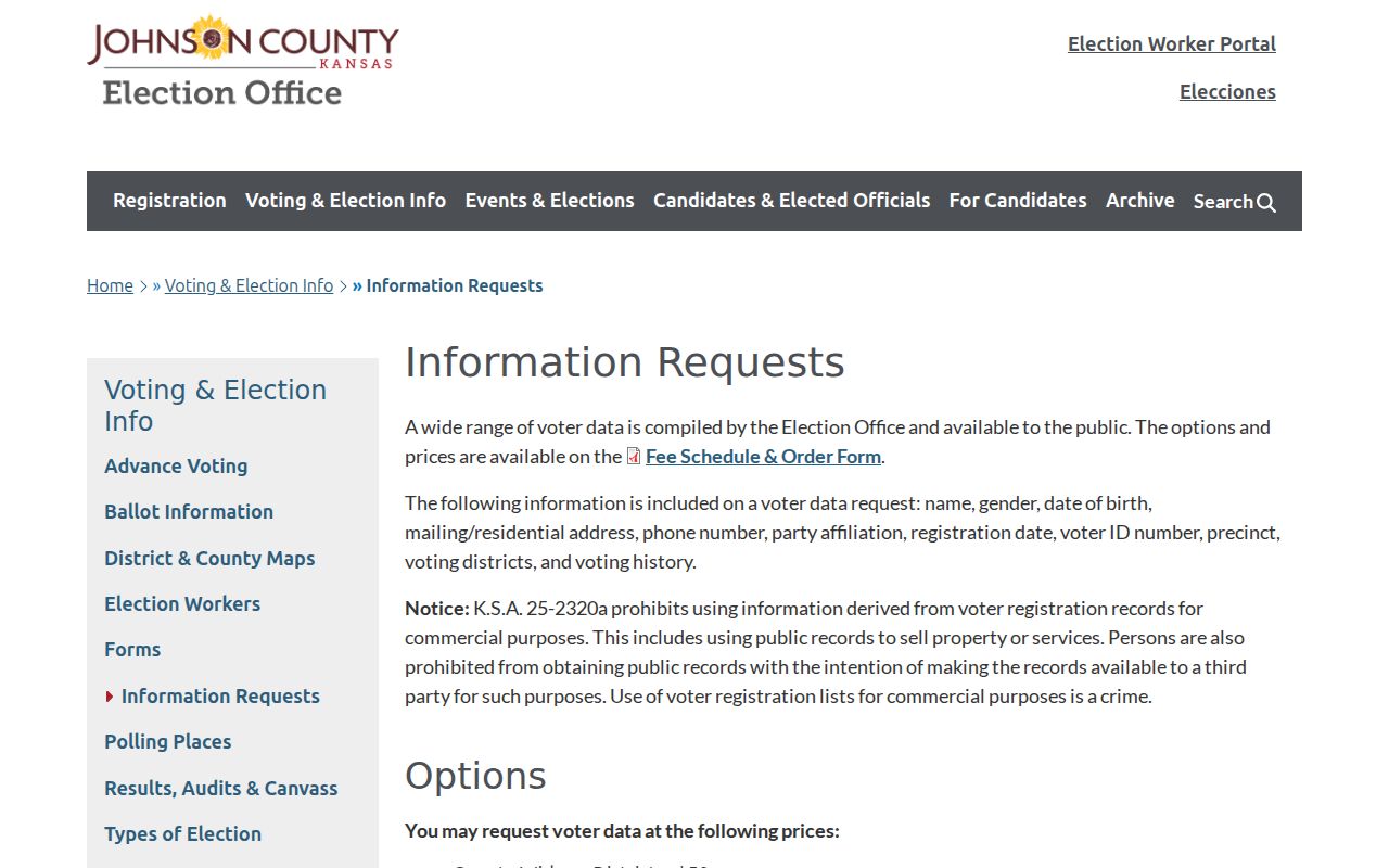
Do not turn that controlled file into a named block list, and never publish a protected address.
Trace an Older Leawood Block
Modern parcel lines gain context from the deed and plat chain, Johnson County tax rolls, historic right-of-way records, directories, newspapers, and aerial imagery. The recorder's older document library covers scanned documents from 1920 through 1987 and plats from 1866 to the present, while the county expects an Enterprise Records Management transition in fall 2026.
The official historical deed library notice records that changing access model.
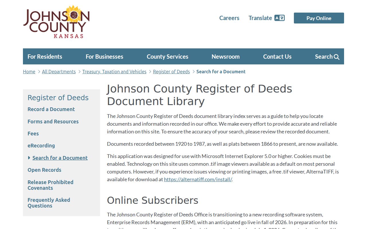
Date each capture because login, image, printing, and certification rules are changing.
The Johnson County Genealogical Society and library genealogy desk can help with older names, newspapers, and local collections.
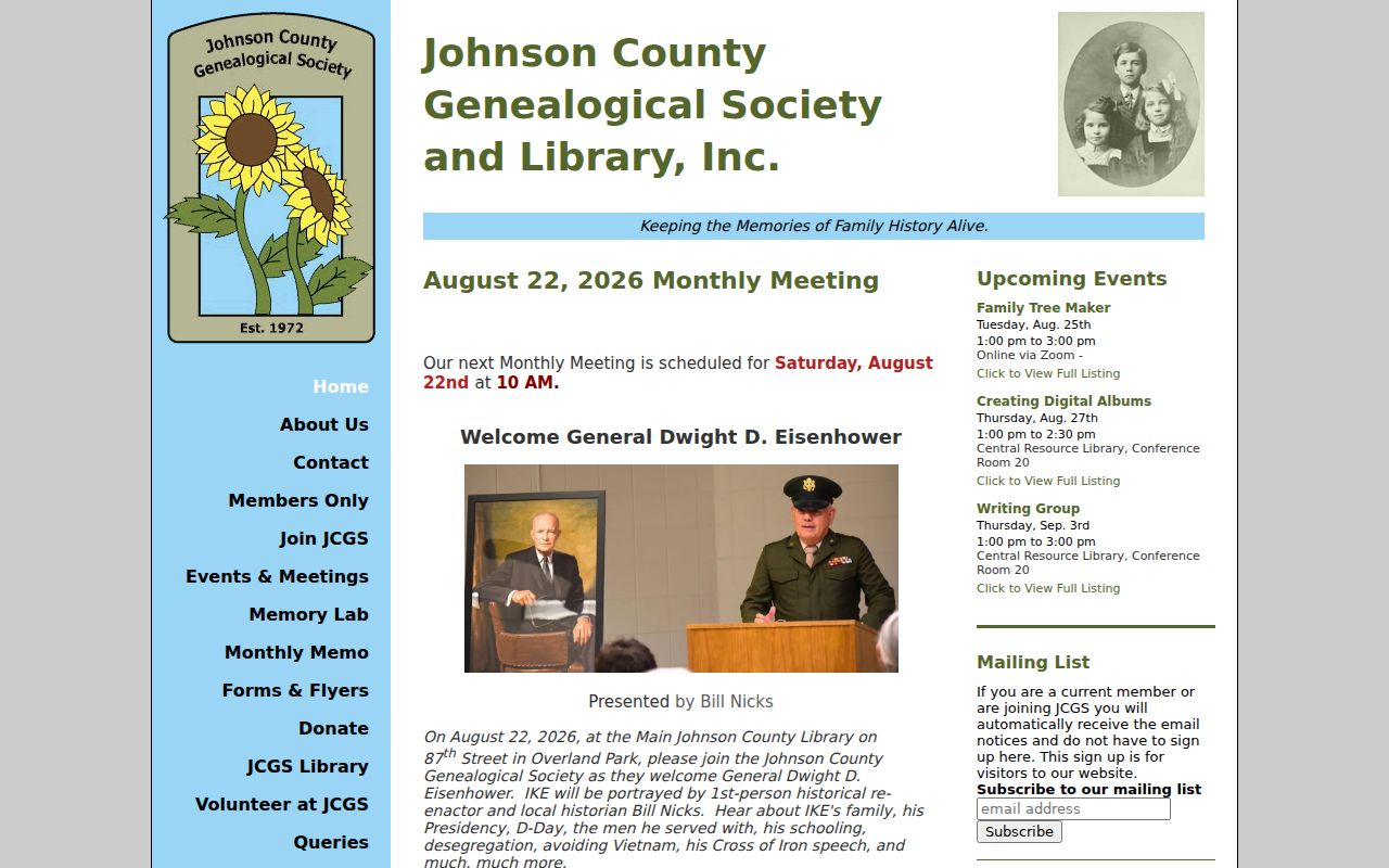
Historical names remain dated leads, not claims about who lives on the block now.
Official Leawood Block Records
Official custodians and commercial neighbor tools serve different roles. Official sources identify the agency, field meaning, date, and correction route. Commercial tools combine data from many places, may merge people with similar names, and are not the source custodian.
| Question | Official record | Commercial category |
|---|---|---|
| Which parcels touch? | AIMS and recorded plat | Map may lack legal source detail |
| Who owns the parcel? | Appraiser, tax card, deed | May be stale or merged |
| Which HOA applies? | City list, plat, declaration | May omit source date |
| How is an error fixed? | Contact the named custodian | Correction does not change the source record |
Keep every owner, address, boundary, and association claim attached to its official source and retrieval date.
Protect Your Leawood Neighbors
Parcel ownership, tax mailing, voter registration, and actual occupancy are different facts. Utility customer lists and private delivery data are not part of this public workflow. Kansas Safe at Home supplies a substitute address for qualifying survivors and keeps the true location confidential. Voter nondisclosure can also shield an address. Missing names are an expected result of lawful privacy controls.
Use the Kansas Attorney General identity-theft and complaint routes for misuse. Ask the correct custodian to fix a wrong source field. Never collect full dates of birth, protected voter addresses, Social Security numbers, or private HOA member data.
A neighbor search also needs a time label. A deed records a transfer, a tax card reflects a tax cycle, an HOA contact may be self-reported, and aerial imagery shows one capture date. Save the parcel ID, layer date, scale, and source URL with each note. If two sources disagree, return to the recorded plat or the office that maintains the field. A shared road edge, drainage tract, or common area may separate homes that look adjacent on a small map. Careful source notes protect both the researcher and the people whose names appear in the records.
Community contacts add context without proving occupancy. Leawood’s HOA public list can identify an association or management contact, but the city says entries are self-reported and not warranted. Recorded declarations belong at the Register of Deeds, while AIMS supplies subdivision and plat fields. Keep those layers separate.
For an older block, the library genealogy desk, JoCoHistory, county Archives, and the Johnson County Genealogical Society offer distinct fallbacks. Ask about a named record series and date range, not a broad surname list. This focused request remains useful when no public directory scan exists. Tax rolls from 1862 through 2007 provide dated taxpayer leads, while historic imagery shows physical change without naming an occupant. Obituary cards, newspapers, oral histories, cemetery clues, and photographs may connect a family or former place name to the area. Cite each item by date and collection, then confirm it with the parcel or deed chain. Never carry an old household name forward to a current block without fresh proof. A missing scan, changed street label, or protected address is a research gap, not proof that someone is absent.
Lawful use. Research Leawood neighbors for civic, historical, and personal purposes only. Never watch, harass, threaten, or expose another person.