
Walk a Leawood Street Record
Begin with the exact address, including any directional prefix and street type. Johnson County AIMS can validate an address and return the parcel that contains it. A parcel is a defined unit of land. Save its Property ID, KUPN, Quick Reference number, site address, and legal description before looking for a person. These stable identifiers prevent same-number and same-name mistakes.
- Enter the full street address in AIMS and select the validated parcel.
- Compare the site, or situs, address with the owner billing address.
- Use the KUPN or Quick Reference number in county property and tax records.
- Search the Register of Deeds and match each legal description.
- For past occupants, consult dated tax rolls and reverse directories.
This street-by-street sequence distinguishes ownership from presence. A deed names parties to a land transfer, not every person who occupied the home. A tax mailing address can be elsewhere. Voter data has strict limits and should never become a household list. Use the Leawood city directories for the historical shelf and the past residents workflow for one parcel over time.
Search Leawood Streets in AIMS
Open the Johnson County AIMS street map and search by address, property ID, owner name, or KUPN. A result can combine parcel identity, plat references, land use, tax links, district layers, utilities, nearby features, and aerial images. Address and parcel changes are updated nightly. Yet the county warns that mapped lines are not a legal survey and can vary by roughly 10 to 15 feet or more.
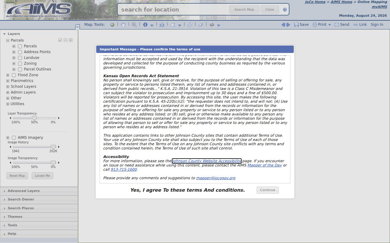
The captured AIMS screen shows why the street directory should preserve the parcel ID and capture date. Confirm a boundary through a recorded plat or the right office.
| Search field | Use | Verify |
|---|---|---|
| Address | House number and street | Site address and parcel |
| Property ID | County parcel identifier | Legal and map fields |
| Owner name | Candidate parcel match | Do not infer presence |
| KUPN | Stable property number | Tax and deed trail |
Read Leawood Address Fields
AIMS can expose many fields. Capture Property ID, Alias, Site Address, Quick Reference, KUPN, legal description, subdivision, block and lot, plat book and page, and the date recorded. Then note zoning, city or township, ZIP, ward, precinct, school district, fire service, and relevant nearby address points.
Review the official AIMS mapping guidance before treating a layer as final.
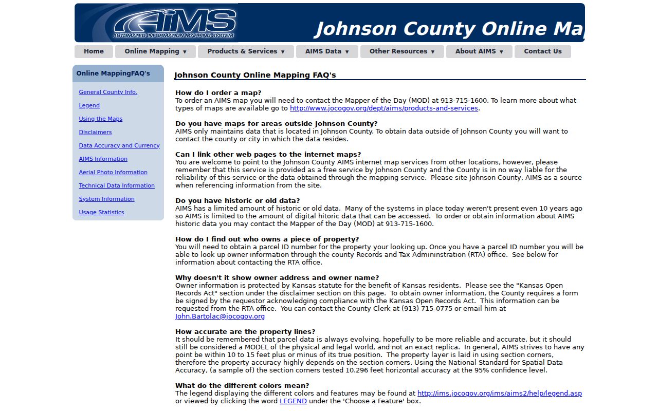
The guidance supports a careful reading. A parcel outline, nearby point, straight-line distance, and billing field each mean something different.
- Parcel
- A mapped unit of land tied to county identifiers.
- Situs address
- The physical location assigned to the property.
- Plat
- A recorded map of lots, blocks, streets, and easements.
- Criss-cross directory
- A directory ordered by street and house number.
Leawood Records Keyed by Street
No single Leawood street directory proves who is inside a home today. Each source answers a narrower question.
| Record | Keeper | Street evidence | Access |
|---|---|---|---|
| AIMS parcel card | Johnson County AIMS | Site, parcel, billing fields, districts | Online map |
| Property data | County Appraiser | Address, legal description, value | Online or 913-715-9000 |
| Tax card | County Treasurer | Quick Ref, mailing address, bills | Online portal |
| Deeds and plats | Register of Deeds | Transfers, lots, restrictions | Office terminal and copies |
| Permits | Leawood Code Services | Address, project, inspection data | Access Leawood or staff |
| Historic tax rolls | County Archives | Dated taxpayer and tract | Appointment or request |
Use the source closest to the question. The Appraiser handles property data and address changes. The Treasurer keeps tax and billing records. The recorder holds instruments that can establish a transfer or restriction.
Leawood Deeds Along a Street
The Johnson County Register of Deeds is the official route for deeds, mortgages, releases, assignments, easements, plats, restrictions, and HOA declarations. Grantor means the party giving an interest; grantee means the party receiving it. The public land index begins in 1920, scanned documents cover 1920 through 1987, and plats reach back to 1866. A terminal is available at the office.
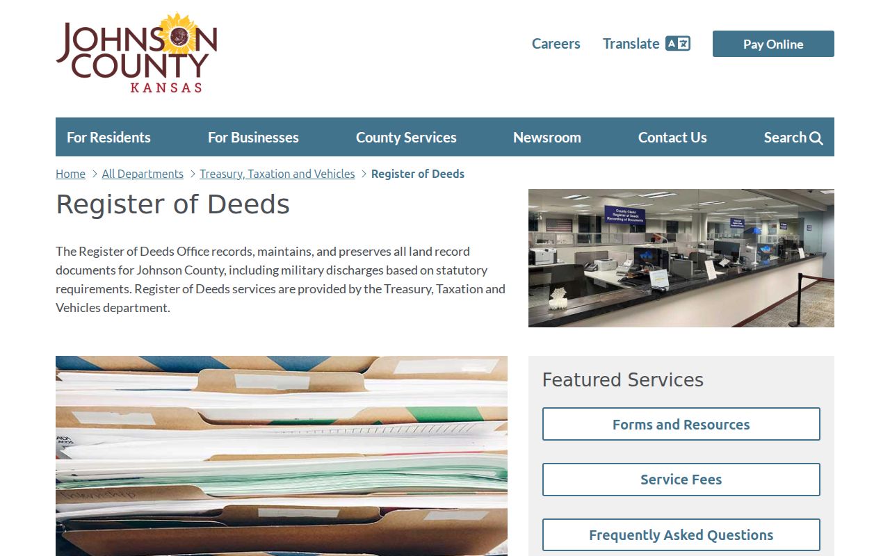
The recorder screen is a starting point. Match the instrument number, legal description, recording date, and related documents before placing a name on a street timeline.
Read the recorder's deed search guidance for current access details.
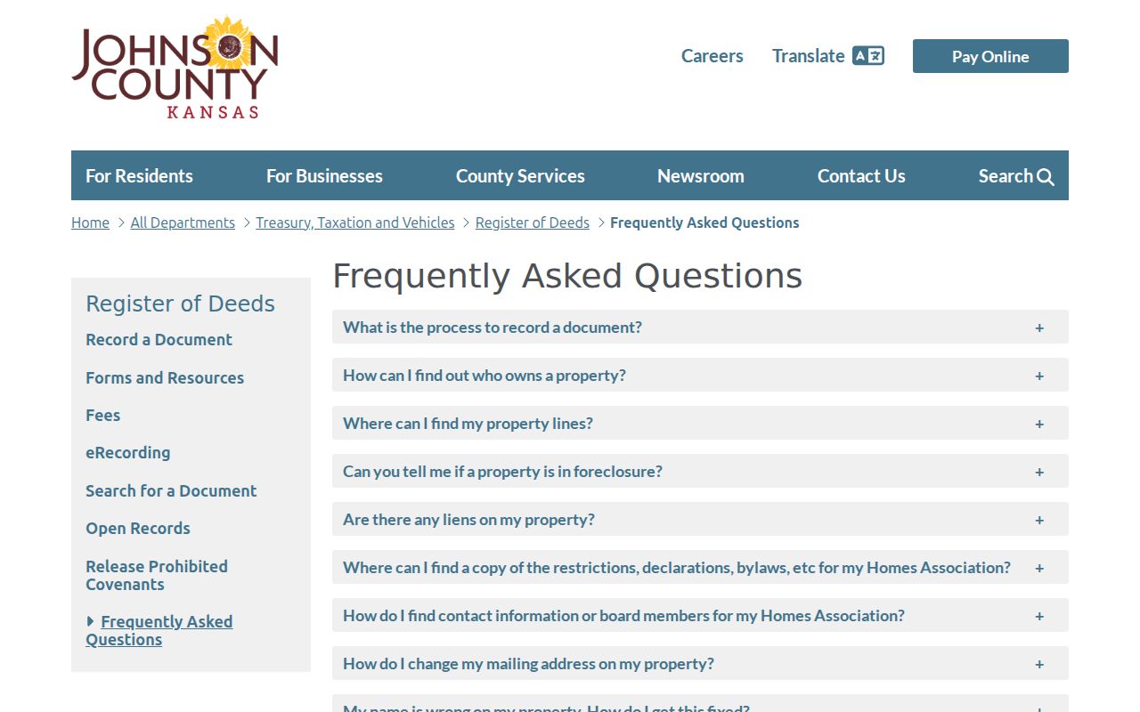
Copies are listed at 25 cents per page, with more for certification. The old subscription ended July 1, 2026, and an Enterprise Records Management change was expected in fall 2026. Verify the live route before ordering.
Leawood Site and Mailing Addresses
An owner or billing address is not the parcel's physical address. A company, trust, estate, or person may receive mail elsewhere. A site address says where the land is, but not who is present. Keep the labels from the source instead of merging them.
A strong street directory note records the source, field name, and date. Pair the AIMS Site Address with the Treasurer billing field and deed description. If they conflict, preserve that conflict and ask the custodian.
Insider tip. Use the KUPN or Quick Reference number to hold the same parcel in view when a street label changes.
Historic Leawood Street Evidence
AIMS offers historic imagery for 1941, 1954, 1991 onward, plus 2026 orthophotography captured March 9 through 19. These dated views can show when a building, road, or subdivision appeared. They cannot prove title or an exact boundary. Record the imagery year and scale with every observation.
The historic right-of-way search covers dedication, vacation, and alteration records from about 1850 through 1949. It helps when an old road name, moved route, or changed number breaks a modern address search. Leawood's address code allows some older numbers to remain grandfathered. The parcel and plat can bridge the mismatch.
Reverse Leawood Street Directories
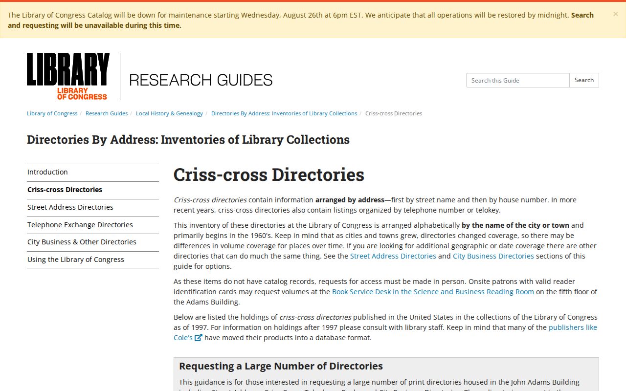
A reverse directory can connect a dated house number with the name printed beside it. The Library of Congress criss-cross guide explains this address-first format and its limits.
No official source established a complete stand-alone Leawood run. Ask the Johnson County Library Genealogy Desk to check regional Kansas City and Johnson County editions. Cite the publisher, year, page, and coverage. A printed name is evidence for that edition, not proof of present occupancy.
Leawood Permits by Address
Leawood Code Services and Access Leawood can route a search by address, customer, or permit. A result may identify project type, inspection status, contractor, or applicant. Historical field coverage was not established, so ask staff for a narrow date range and permit type when the account does not expose an older item.
A permit identifies a project record. It does not identify every resident or owner. Save the permit number, address as printed, status, and date, then compare the parcel identifier and deed timeline.
Request Leawood Address Records
When a portal fails, call the Appraiser for property data, consult the recorder terminal, ask the Treasurer about tax cards, or file a focused request with the Leawood City Clerk. A Kansas Open Records Act request should name the address, date span, parcel, permit, or instrument. K.S.A. 45-220 says an agency cannot require one particular request form.
A custodian must respond within three business days by providing the record, denying it with a basis, or explaining when it can be produced. Fees may reflect actual staff time and copies. Narrow requests are faster and easier to verify.
Limits of Leawood Street Records
Protected owner fields may be hidden. VoterView is a confirmation tool, not a bulk directory, and qualifying voters can seek nondisclosure. Safe at Home supplies a substitute address for eligible participants. Never try to find a protected location or publish a household list.
A parcel result shows land. A tax card shows tax and billing data. A deed shows a transaction. An old directory gives a dated association. None proves that a named person is inside the property now.
Street searches also fail when the input is too modern. Historic right-of-way records can document road dedications, vacations, and alterations from roughly 1850 through 1949. AIMS imagery adds views from 1941, 1954, 1991 forward, and the 2026 aerial release. Preserve the address exactly as it appears in the older source, then compare it with the current parcel, plat, and road layers. Record the source date and never force an old place name onto a current household. If a portal still fails, contact AIMS, the Appraiser, City Clerk, or Register of Deeds with the parcel and date range. Counter, phone, email, mail, and formal request routes remain available.
Lawful use. Use Leawood street records for lawful personal research only. Kansas law prohibits stalking, threats, harassment, and misuse of restricted lists.
Leawood Districts Along a Street
An address can sit within several public boundaries at once. AIMS may show the Leawood ward, voting precinct, polling place, county commission district, state legislative districts, school attendance boundaries, fire service, utilities, census geography, ZIP, watershed, and flood panel. Capture the layer name and date. District lines can change, and a straight-line distance to a station, library, park, or hydrant is not a driving route.
ZIP is delivery geography, not a legal city boundary. USPS may use a preferred last line that differs from Leawood even when the parcel lies inside the city. Confirm the exact address with USPS, then use the AIMS city or township layer and the parcel card. A ZIP match alone should never place a person or property within Leawood.
Nearby map points also need care. An address point across a road, drainage tract, or common area may look adjacent at a small scale. Use parcel outlines and the recorded plat to decide whether two lots actually share a line. If legal access or boundary location matters, a licensed survey and recorded documents carry more weight than the public viewer.
HOA Records on Leawood Streets
The city's HOA public-information list and map provide a current contact layer for many Leawood subdivisions. That list is self-reported and comes with no warranty. It can help identify an association name or public contact, but it is not the source for binding restrictions. Search the Register of Deeds for the recorded declaration, amendments, easements, and restrictions tied to the subdivision or parcel.
This split matters. AIMS identifies the subdivision and plat. The recorder preserves legally filed documents. The city list helps route a question to an association. Keep these roles distinct, and never place sensitive personal data in a public HOA contact form. For the block around a property rather than the whole named street, use the Leawood neighbors search.