
Leawood ZIP Directory Coverage
Four ZIPs have direct official Leawood address examples: 66206, 66209, 66211, and 66224. Three more are useful edge checks, but they should not be treated as routine Leawood coverage without an exact parcel match. The table separates evidence from overlap candidates.
| ZIP | Leawood area | Postal label | Search note |
|---|---|---|---|
| 66206 | Northern and eastern core near Lee | Leawood preferred | City park and Fire Station 31 examples |
| 66209 | Central area near Town Center | Leawood preferred | Justice Center example |
| 66211 | Town Center and eastern-central area | Leawood or later Overland Park processing | City Hall and fire-station examples |
| 66224 | Southern Leawood and Ironwoods corridor | Overland Park processing context | Leawood parcels can carry it |
| 66207 | North or west edge candidate | Overland Park context | Validate every parcel |
| 66208 | Adjacent ZCTA overlap candidate | Prairie Village area context | No routine city example found |
| 66223 | Nearby southwest edge candidate | Overland Park context | No routine city example found |
No Leawood-specific PO-box-only or single-institution ZIP was found. Nor did the official sources identify a local ZIP split beyond changes in preferred place and processing labels. Those absences should remain explicit instead of being filled with general postal claims.
Core Leawood ZIP Codes
Official city addresses provide solid examples. Fire Station 31 at 9621 Lee and Leawood City Park at 10601 Lee anchor 66206. The Justice Center at 4205 Town Center anchors 66209. City Hall at 4800 Town Center and a fire station at 12701 Mission support 66211. Ironwoods and city fire facilities along 14701 through 14801 Mission support 66224.
These are evidence points, not claims that each ZIP lies wholly within Leawood. A single ZIP code can serve more than one city. The USPS preferred last line for Leawood became effective for 66206 in October 2009, while later material shows Overland Park processing labels for some southern addresses. Use the complete address in the USPS address lookup.
Map a Leawood ZIP Code
Johnson County's official ZIP map, dated October 1, 2025, provides countywide context. The interactive AIMS mapping viewer adds parcel outlines, address points, ZIP Codes, city or township, streets, wards, precincts, school areas, imagery, and other layers. Turn on the ZIP and city boundary layers together.
| AIMS control | Use in a ZIP check |
|---|---|
| Address search | Locate one exact parcel and its site address |
| ZIP Codes layer | Display the mapped postal area |
| City/township field | Check the municipal label for the parcel |
| Parcel outline | Avoid relying on a map-center point |
| Latest imagery | View the dated site context, not a legal survey |
The AIMS map is approximate and is not a legal survey. Property and address changes update nightly, but boundaries should still be checked against a recorded plat or the proper office when legal precision matters.
Current Leawood ZIP Imagery
The AIMS project notice says the 2026 aerial photography was captured March 9 through 19 and released to its applications. That date is vital when comparing a current parcel with an old street, subdivision, or directory address.
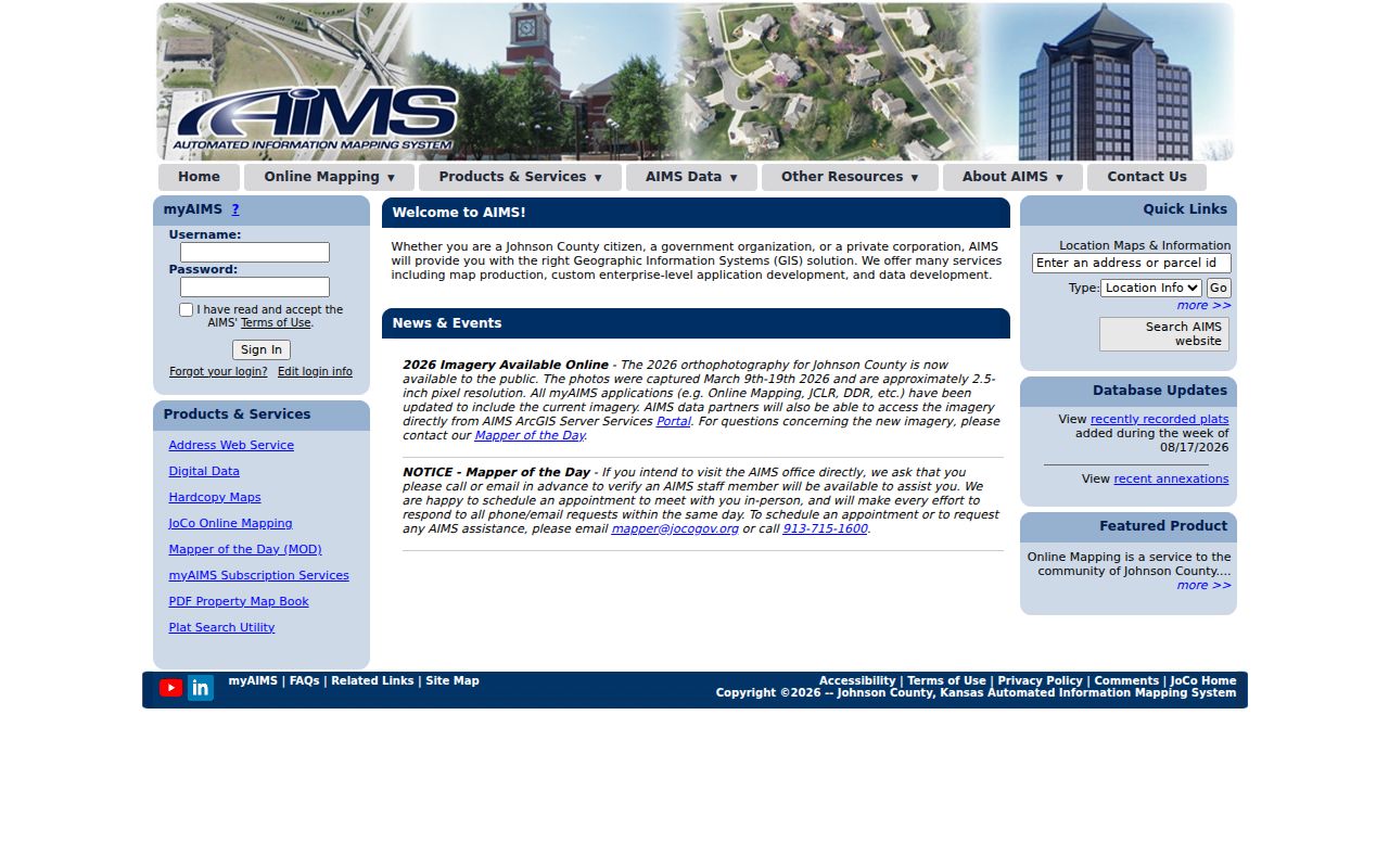
The capture shows the current mapping source. Label the imagery year in notes and do not treat a roof line or parcel graphic as a surveyed boundary.
The AIMS archive also includes 1941, 1954, and annual or periodic imagery from 1991 onward. An older scene can show when a road or development appeared, but it cannot establish who occupied a property.
Find Leawood Leads by ZIP
None of the reviewed official portals offers a public ZIP-wide resident roster. AIMS displays ZIP for one selected parcel. The Treasurer accepts Quick Reference ID, address, or name, but ZIP was not confirmed as its primary key. The Appraiser uses Address, Reference Number, KUP Number, or Parcel Number. VoterView uses a registered person's first name, last name, and date of birth, or a separate address route for polling information.
- Enter the full street address in AIMS Location Maps. Save the Site Address, ZIP, city or township, parcel, and KUPN.
- Turn on the ZIP Codes and city layers. Inspect the selected parcel outline rather than the center of the postal shape.
- Validate the same exact address with USPS and note its preferred last line.
- If the city and postal labels differ, preserve both with source and date. Do not rewrite one to match the other.
- Only then use the parcel ID, address, or authorized person details in the relevant official index.
A ZIP search filters geography; it does not prove residence. Once an address is confirmed, the Leawood street directory explains the street-level parcel and record chain.
Leawood ZIP and Census Geography
A Census ZIP Code Tabulation Area, or ZCTA, is a statistical shape built to approximate ZIP geography. It is not a USPS delivery rule and not a city boundary. The 66208 intersection noted in Census material is why an overlap should not be converted into routine Leawood coverage.
The National Archives census research route explains access to historical schedules and geographic tools.
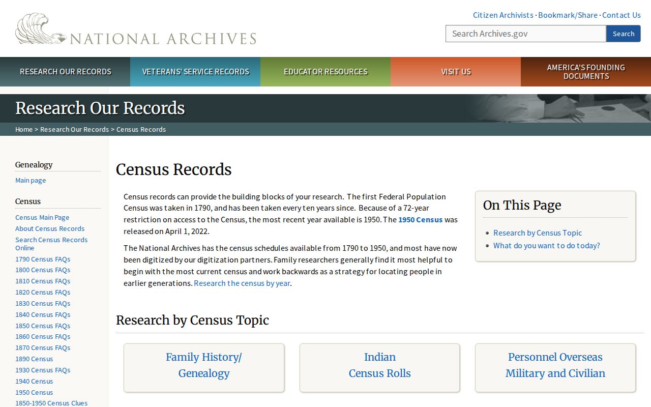
This image documents the federal research route. Match an old household to the street and enumeration geography used in that census year rather than forcing it into today's ZIP code.
- ZIP code
- A USPS delivery code that can cross local government lines.
- ZIP+4
- The base ZIP plus four digits that narrow a delivery segment.
- ZCTA
- A Census statistical area approximating ZIP geography.
- Carrier route
- A delivery path that does not define city jurisdiction.
Leawood ZIPs Versus City Limits
Leawood is long and narrow in northeastern Johnson County. Prairie Village lies north, Overland Park lies west and south, and Kansas City, Missouri, lies east. I-435 crosses the city. These neighbors create many chances for a postal label, broad map shape, and municipal boundary to diverge.
A delivery line can say Overland Park for a parcel that AIMS places in Leawood. The reverse risk also exists: a ZIP associated with Leawood can include parcels outside city limits. The 66207, 66208, and 66223 rows belong in the ZIP code directory as edge filters, not as a claim that every address belongs to Leawood.
For any mismatch, record three items: the USPS delivery line, AIMS city or township field, and the parcel identifier. Add the date. If a legal boundary controls the task, ask AIMS or the City Clerk and consult the recorded plat.
Note: Postal service, Census statistics, and municipal government use different geographic systems, so no single label answers every question.
Leawood ZIP Neighborhood Clues
A ZIP does not identify a neighborhood or association. The Leawood HOA public list adds subdivision and public contact context after AIMS confirms the parcel. The city says the information is self-reported and does not warrant its accuracy.
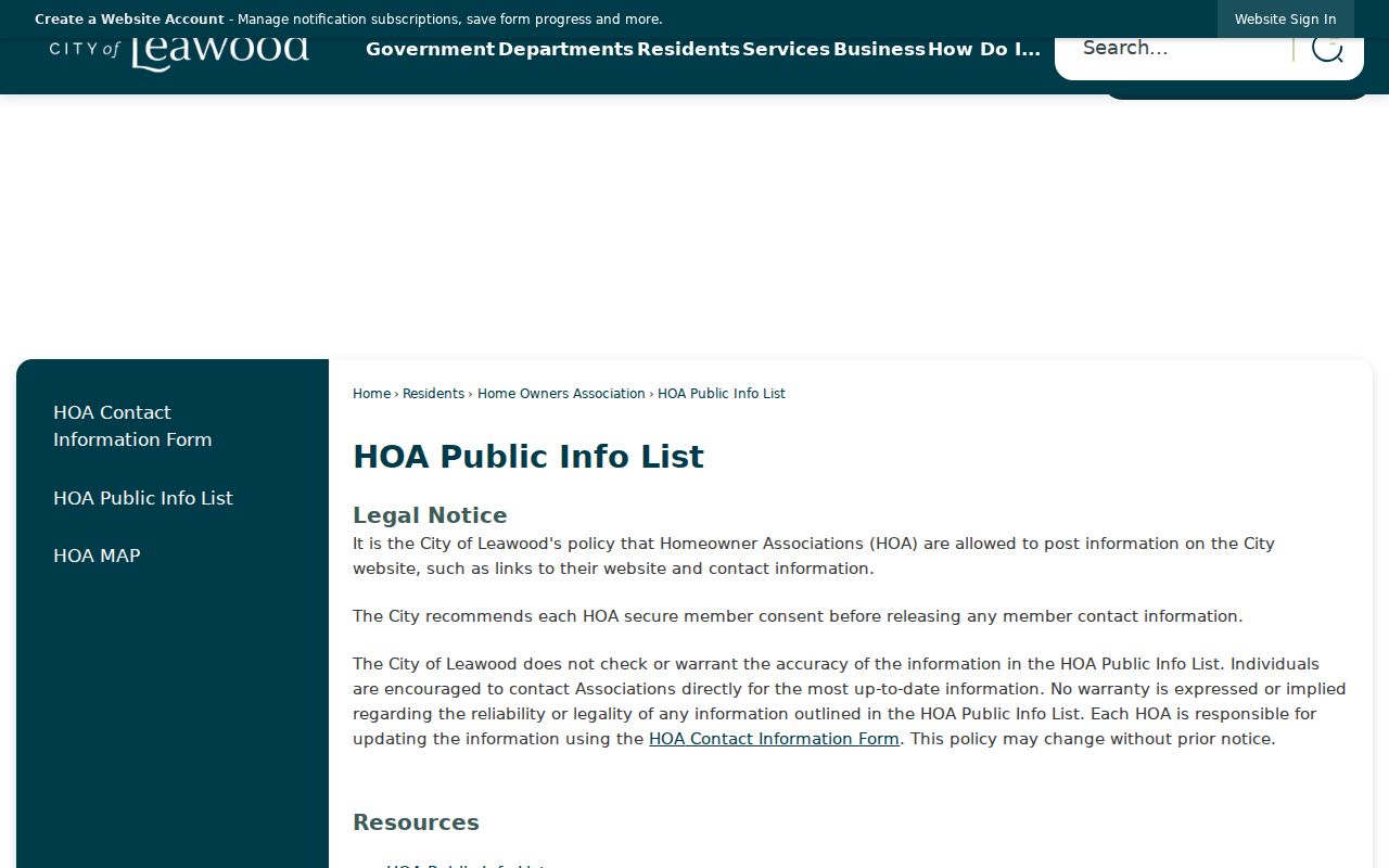
The captured list is a current community layer, not a household roll. Recorded declarations and restrictions remain with the Register of Deeds. Use the city list only to identify a likely association and its public route.
Historic Leawood ZIP Labels
Leawood incorporated in 1948 with about 300 homes and a southern edge near 103rd Street. Oscar G. Lee bought a major tract in 1922, and the Kroh plat followed in 1937. Later growth moved south toward 135th through 151st streets, Mission Road, and Ironwoods. Older sources may therefore describe a rural tract, subdivision, road, or nearby place rather than a modern ZIP.
Keep the original city label from each directory, newspaper, deed, or census record. Search by legal description, subdivision, block and lot, or KUPN when a modern street number fails. The KUPN is a stable crosswalk in AIMS, but official pages do not publish a simple digit formula, so do not try to decode it.
The Alexander Majors Home at 83rd and State Line makes the boundary issue vivid: the house is in Missouri while its front yard reaches Leawood. It is a local reason to check a parcel rather than trust a familiar place name.
Date Every Leawood ZIP Result
Postal and map geography changes, so save more than the five-digit code. Record the full address entered, USPS preferred last line, AIMS parcel identifier, city or township field, ZIP layer date, and source URL. The official Johnson County ZIP map is dated October 1, 2025, while AIMS released 2026 aerial imagery after its March capture.
For historical research, keep the city and ZIP wording printed in the original deed, directory, obituary, or newspaper. Add the modern match as a separate note. A Leawood label, an Overland Park processing line, and a parcel inside the current city boundary may describe different parts of one address history. The Leawood ZIP code directory works best when postal service, Census geography, and municipal limits remain separate fields.