
Leawood Past-Resident Evidence
Different eras leave different records. The strongest backward trail begins with the current parcel and proceeds through recorded documents. Older sources then add context without replacing the legal chain.
| Source | Years covered | Where held | What it shows |
|---|---|---|---|
| AIMS parcel and tax data | Current records | Johnson County online | KUPN, situs, legal description, billing fields |
| Land-record index | 1920 to present | Register of Deeds | Transfers, parties, dates, instruments |
| Recorded plats | 1866 to present | Register of Deeds | Lots, blocks, roads, subdivisions |
| County tax rolls | 1862 to 2007 | Johnson County Archives | Dated taxpayer and tract context |
| AIMS imagery | 1941, 1954, 1991 to 2026 | AIMS | Site and road change, not legal title |
| Federal census | Public through 1950 | National Archives and library databases | Household data under the 72-year rule |
| Local collections | Varies | Library, JoCoHistory, oral histories | Dated address and family leads |
Start with AIMS for a recent parcel. Use the county archives and historical collection when the search moves before the online deed index or meets an old street label.
Fix the Leawood Parcel Identity
Normalize the street address in AIMS, then save the KUPN, Quick Reference, legal description, subdivision, block and lot, plat book and page, and situs address. Situs means the physical location. These fields are safer than a surname because a name can recur and an earlier deed may describe a larger tract.
Keep the owner and billing address separate from the site. A remote mailing address does not prove absence from the property, and a matching site address does not prove present occupancy. The parcel identifier is the bridge between the Appraiser, Treasurer, map, plat, and deed trail.
Insider tip. If an old house number fails, search the plat, block, lot, and historic right-of-way instead of forcing a modern street match.
Trace Leawood Deeds Backward
A chain of title is the sequence of recorded transfers affecting a parcel. A grantor gives an interest; a grantee receives it. The instrument date shows when a document was signed, while the recording date shows when the county entered it. Save both.
- Find the current parcel and exact legal description in AIMS.
- Identify the latest deed and its instrument number or book and page.
- Read the grantor, grantee, dates, and legal description.
- Use the grantor as a prior-owner lead, then find the preceding instrument.
- Repeat only while the legal description and parcel history still agree.
- Log mortgages, releases, easements, and related documents separately.
The path can shift from a subdivision lot to a large tract. Never accept a surname and street number alone. A valid previous-residents timeline needs the same land and the right period.
Leawood's 1920 Index Boundary
The Johnson County land-record index starts in 1920. Plats reach back to 1866, but that does not make every early deed searchable online. Before 1920, ask the Register of Deeds, Johnson County Archives, a title researcher, or another qualified custodian about courthouse indexes and historical abstracts. A blank portal result means only that the chosen route produced no hit.
The document system was also changing in 2026. The former subscription ended July 1, and Enterprise Records Management was expected in fall 2026. Preserve instrument identifiers and verify current access instructions. Online convenience should never set the historical limit.
Johnson County Archives Trail
Johnson County Archives holds tax rolls from 1862 through 2007 and other county indexes. Its research room at 19310 W 159th Street, Suite 1100, Olathe, is available by appointment, with phone, mail, and email request routes. Copies are listed at 25 cents, and staff research is limited.
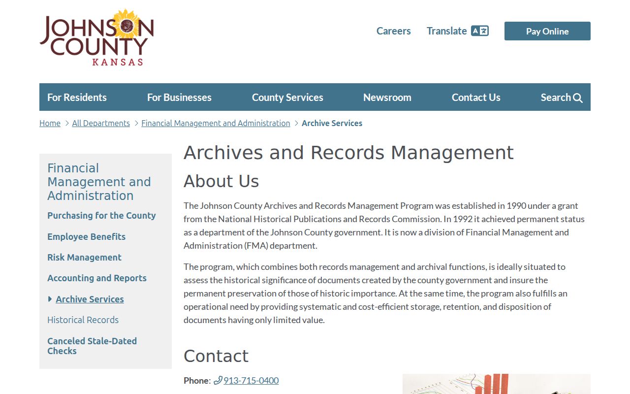
The archives capture shows the fallback for a pre-1920 gap. Give staff the address, legal tract, names already found, and a narrow date range. Taxpayer names can support a timeline, but a tax roll still does not prove every occupant.
Leawood Directories and Census
A city or reverse directory can associate a name with an address in a named edition. A reverse, or criss-cross, directory is arranged by street and house number. No official source established a complete stand-alone Leawood run, so ask the Johnson County Library Genealogy Desk to search regional Kansas City and Johnson County holdings. Cite the publisher, year, page, and coverage.
Pair a directory year with the nearest public federal census schedule when it fits the period. The 1950 census is the latest full decennial schedule available under the 72-year rule as of the research date. Search the National Archives census route by place and enumeration district, the geographic area used to organize a census taker's work.
The safe process is simple: directory address, census place, household names, deed or tax parcel, then dated newspaper evidence. A mismatch stays in the notes. It is not solved by guessing.
Leawood Genealogy Desk Sources
The Johnson County Library Genealogy Desk is at the Central Resource Library in Overland Park. It offers books, microfilm, microfiche, research computers, and an Urban/Local Collection with directories, yearbooks, community histories, and maps.
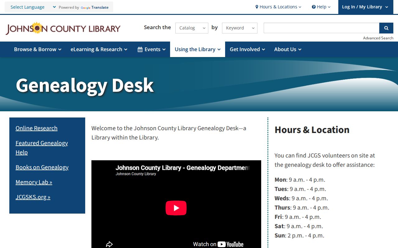
The desk image points to an in-person access channel that matters when no searchable page exists. Listed desk hours are Monday through Saturday, 9 a.m. to 4 p.m., and Sunday, 2 to 4 p.m. Confirm hours before travel.
The library's digital genealogy resources include affiliate or in-library access to FamilySearch, Ancestry Library, American Ancestors, Fold3, HeritageHub, and HeritageQuest.
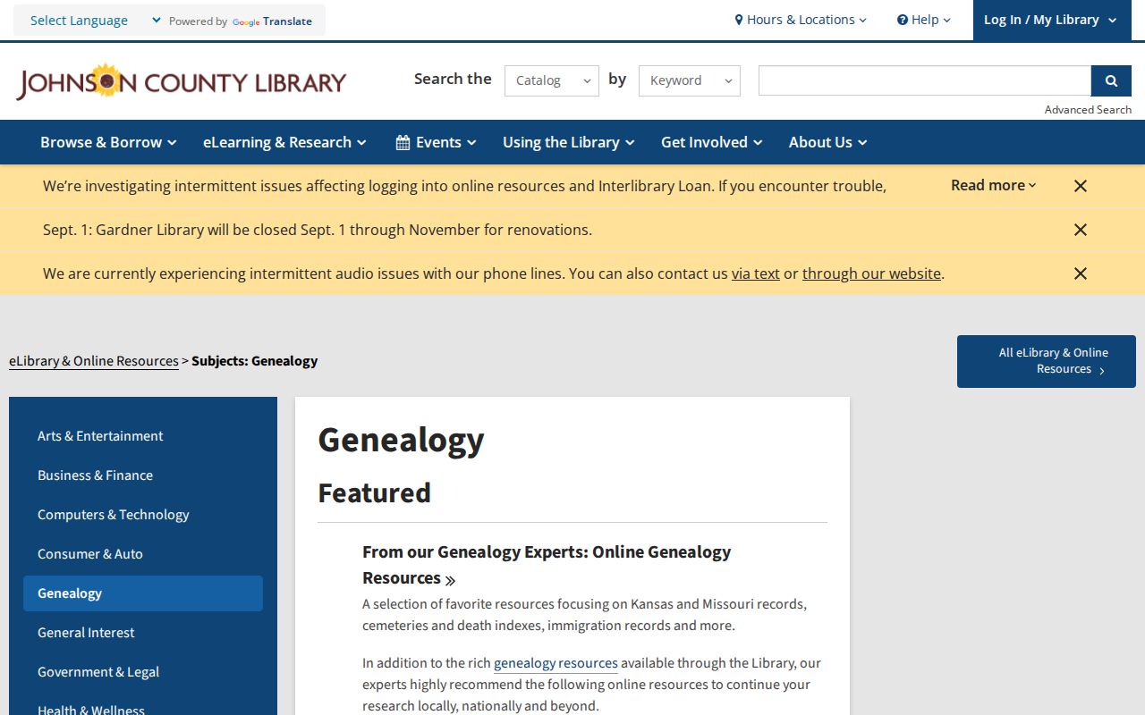
These databases can supply census, obituary, military, and family-linked leads. Check the original image and access terms before adding a fact to the house history.
Leawood Local-History Clues
Johnson County Library local history describes more than 40,000 photographs, newspapers, maps, and related items from the nineteenth century onward.
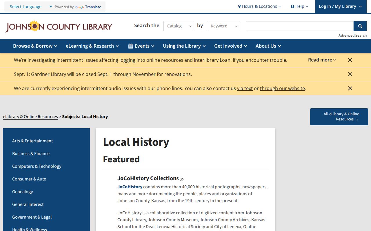
Search exact addresses, subdivisions, former sites, and surnames, then record the item's title, date, creator, collection, and rights note. JoCoHistory also has a Leawood collection, though its manifest capture failed. The library holds a 1977 to 2000 obituary card file and offers newspaper research routes.
Leawood oral histories cover Oxford School, Oscar Lee, Kroh development, early Johnson County, and city founding. Recollection can identify an old place name, but verify it with a plat, deed, photograph metadata, or dated paper.
Kansas Archives Beyond Leawood
The Kansas Historical Society Archives Catalog is the statewide route for maps, government records, manuscripts, and other historical material.
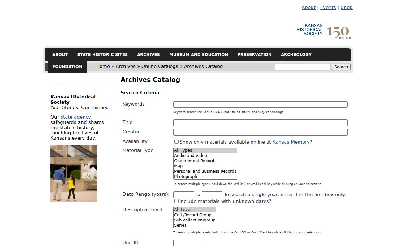
The catalog capture offers a broader fallback when a county or library search runs dry. No Leawood-specific directory run was established there during research, so search both Leawood and regional terms, then describe any negative result narrowly.
Historic Leawood Images and Roads
AIMS imagery from 1941, 1954, 1991 onward, and 2026 can date visible site change. Historic right-of-way records from about 1850 through 1949 may explain a dedicated, vacated, altered, or renamed route. An aerial image is not a survey and cannot prove who owned or occupied the land.
Cemetery and obituary evidence can help when a person predates a modern address. Corinth Cemetery near 83rd and Mission and Linwood Pioneer Cemetery near 95th and Mission are historical leads. Treat burial as a dated local association, not residence proof. Follow the name into tax, deed, census, and newspaper sources.
Resolve Leawood Address Mismatches
A failed address search may reflect a renamed road, altered right-of-way, changed house number, or postal label that never matched the city boundary. Search AIMS historic right-of-way material for dedications, vacations, and alterations from roughly 1850 through 1949. Compare the recorded plat, block and lot, legal description, and parcel identifiers before joining an old address to a current one.
Local place names need the same care. Oxford may refer to a townsite, a school, or the school’s later Ironwoods location. Keep the original wording, date, and source beside the modern parcel match. A documented mismatch is stronger than a guess about previous residents.
Document Leawood Record Gaps
A missing scan, protected owner field, changed street number, common surname, missing directory edition, or altered legal description can interrupt the chain. Record the source searched, date span, terms used, and exact result. “No online hit” never means “no previous resident.”
Create a source log with one line for each search: the custodian, collection or portal, access date, exact query, date range, result, and next step. Transcribe names as printed, including initials and variant spellings. When an oral history, obituary, or directory conflicts with a deed, preserve both claims until a source tied to the parcel and date resolves them. This method makes later review possible and keeps a weak lead from becoming a stated fact.
Past residents research should serve lawful family, estate, and house-history needs. Do not publish sensitive household lists or try to defeat Safe at Home, voter nondisclosure, sealed records, or other privacy controls. Stop where the evidence stops.
Evidence rule. Confirm names against the parcel, legal description, and time period before describing anyone as a previous Leawood resident.